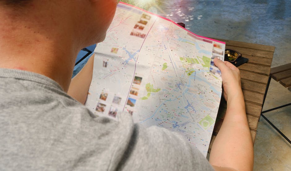
Basics on how to read a map while in the wilderness

From the moment you step into the forest, you can forget about all the technological gadgets you have. Why? Because you can’t rely on them. Knowing how to read an old-fashioned paper map is one of the crucial survival skills that every hiking lover should learn. It may sound boring or archaic to you, but a paper map is an important tool when in the wilderness. In case you never learned how to read one, or you perhaps just need to refresh your knowledge, here are some basic tips on how to read a map. Adding an extra survival skill to your repertoire will never harm you.
Types of maps
Google map is a good example of a two-dimensional map that shows the locations of cities and roads, including features like parks and streets. Maps like these don’t illustrate elevation and contours, they only show you routes and places. In other words, they are not topographical.

Representing a three-dimensional world on a two-dimensional piece of paper is what topographic maps do. These are the type of maps that you should use for orientation in the outdoors. Topo maps show the contours of the terrain and the elevation gradient between places. There are also trail maps that represent the location of the trail with all its features but these are not a good choice.
Understand the legend
A good map has a legend that is very clear to follow, and you don’t need any additional guiding items. Where and when the map data was compiled, the area’s magnetic declination, the scale, the contour interval, and the location are all shown in the legend below the map. Always check that the map you have is an updated one with all the new possible features.
Magnetic declination is the difference between true north and magnetic north. You need to have a good compass that will allow you to orientate yourself to the data on the map.

The scale shows how the area covered by the map relates to the real world. Topo maps are usually 1:24,000, which means one inch on the map is 24,000 inches in the real world. The contour interval is the elevation distance between each of the contour lines. Reading this, you can scale the area you see on the map. A location is an obvious thing that you can read on the map you have. Before you start reading, though, absorb the information that the legend provides you with and make sure you understand what is what.
How Contour Lines Represent the Real World
It may seem confusing staring at a bunch of lines when you have no idea what they mean. But once you learn how to read them, everything will start to become clear. Mountains and valleys, for example, are very easy to spot on a topo map, and there is a lot more information about such features than on any other type of map. Once you realize what all the lines stand for and find your location, it will be much easier to navigate. However, you can use Google Earth to help you understand the area’s topography and terrain features before going outside with only a topo map. Practice at home until you are absolutely sure that you know what you’re looking at on the piece of paper.

Reading a map may seem like a complicated task, especially if you’ve never done it before, but with a little bit of practice and patience, you’ll be able to do it. You can’t always rely on your GPS device, nor your mobile phone apps, so the best way to find where you are, is to learn how to read a map. Always keep it in a plastic, transparent bag. Get a good compass too. Good luck!
If you have any comments then please drop us a message on our Outdoor Revival Facebook page
If you have a good story to tell or blog let us know about it on our FB page, we’re also happy for article or review submissions, we’d love to hear from you.
We live in a beautiful world, get out there and enjoy it. Outdoor Revival – Reconnecting us all with the Outdoors.
