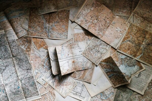
A Beginner’s Guide for How to Read A Topographic Map


Photo Credit: Daniil Silantev / Unsplash
Exploring the great outdoors is an exhilarating experience, but it’s crucial to have the right navigation skills to ensure a safe and enjoyable adventure. One essential tool for outdoor enthusiasts is the topographic map. These detailed maps provide a wealth of information about the terrain, making them invaluable for activities like hiking, camping, and orienteering. In this article, we’ll tell you how to read a topographic map, equipping you with the knowledge to confidently navigate the wilderness.
Understanding Contour Lines
At the heart of every topographic map lies a network of contour lines, which are the key to unlocking the secrets of the terrain. These lines connect points of equal elevation, creating a visual representation of the landscape’s shape and features.
Closely spaced contour lines indicate steep terrain, while widely spaced lines signify gentle slopes. Concentric circular patterns represent hills or mountains, with the innermost rings representing higher elevations. On the other hand, V-shaped or U-shaped lines pointing outward indicate valleys or drainage channels. Sideways V or U shapes indicate ridges or spurs of higher elevation.
Visualizing the Three-Dimensional Landscape
Reading topographic maps is not just about understanding the individual contour lines; it’s about visualizing the three-dimensional landscape they represent. With practice, you’ll be able to recognize different landforms based on their contour line patterns.
Hills, mountains, and peaks are depicted by concentric circular contour lines, with the innermost rings representing the highest elevations. Valleys, canyons, and drainage channels are represented by V-shaped or U-shaped lines pointing outward. Ridges, spurs, and saddles are characterized by sideways V or U shapes. Flat areas and uniform slopes are indicated by evenly spaced, parallel contour lines.
Additional Topographic Map Features and Symbols
While contour lines are the backbone of topographic maps, there are several other essential features and symbols to be aware of. The map scale allows you to accurately measure distances between points, while the legend provides explanations for the various symbols used to represent trails, roads, water bodies, and other features.
Elevation values are also crucial, as they provide precise information about the height of specific points on the map. When navigating unfamiliar terrain, it’s essential to consult the most up-to-date maps available, as landscapes can change over time due to natural processes or human activities.
Tips for Effective Topographic Map Reading
Mastering the art of topographic map reading takes practice, but with the right approach, you’ll be well on your way to becoming a skilled navigator. Here are some tips to help you along the way:
- Start with familiar areas: Before venturing into unknown territory, practice reading topographic maps of areas you’re already familiar with. This will help you develop a better understanding of how the contour lines and symbols translate to the actual terrain.
- Relate contour patterns to landmarks: When studying a topographic map, try to relate the contour line patterns to known landmarks or areas. This will aid in visualizing the terrain and reinforcing your understanding of the map’s representation.
- Use a compass: Carrying a compass and knowing how to use it in conjunction with your topographic map is essential for accurate navigation.
- Update your maps: Landscapes can change over time, so it’s crucial to use the most recent topographic maps available. Check for updates and ensure you have the latest information before embarking on your outdoor adventure.
Reading topographic maps is a skill that takes time and practice to master, but the rewards are well worth the effort. With a solid understanding of contour lines, terrain visualization, and map features, you’ll be equipped to navigate the great outdoors with confidence and safety.
Remember, the key is to start with familiar areas, relate contour patterns to known landmarks, use a compass, and keep your maps up-to-date. With regular practice and experience, you’ll soon find yourself effortlessly interpreting the intricate details of topographic maps, unlocking a world of adventure and exploration.
So, grab your map, lace up your boots, and get ready to embark on your next outdoor adventure with the confidence that comes from mastering the art of topographic map reading.

Recent Posts
Ten Of The Most Stunning Waterfalls On Earth
Few sites in nature inspire more awe and wonder than waterfalls. As a result, these…
Nine Terrifying Birds That Look Just Like The Dinosaurs They’re Descended From
For a large number of animals, it's clear they descended from dinosaurs - think of…
There’s a Tree in California That’s So Special, You Could Go to Jail For Visiting It
Located deep in the heart of Redwood National and State Parks (RNSP) is the world's…
10 Unique Dive Spots From All Over The World
Considering that the Earth is covered by more than 70% water there are plenty of…
Steer Clear Of The 8 Most Dangerous Airports in the World
Most major airports are tucked away far from the main thoroughfares of cities, meaning tourists…
These Underwater Photos Will Make You Want To Never Swim In the Ocean Again
Imagine swimming through the ocean, having a relaxing float in a creek or adventuring in…